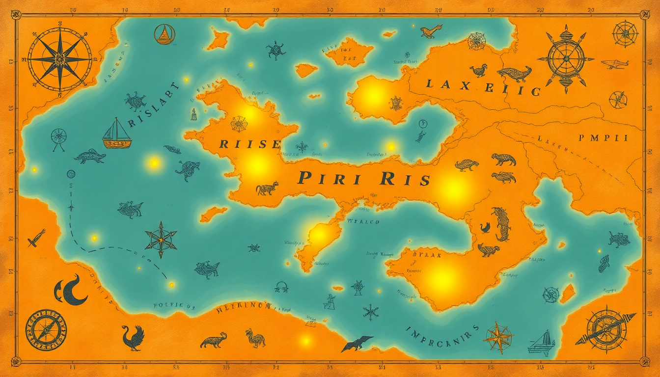
The Enigmatic Piri Reis Map
In 1513, a remarkable piece of cartographic history was created by the Ottoman admiral and cartographer, Piri Reis. Known today as the Piri Reis Map, this document has fascinated historians, scientists, and mystery enthusiasts alike for centuries. Its blend of accuracy and anomalies raises questions about the knowledge and abilities of ancient civilizations.
A Marvel of Early Cartography
The Piri Reis Map, a fragment of a larger world map, showcases parts of Europe, Africa, and the Americas. What makes it intriguing are:
- Precision: Despite being over 500 years old, the map is surprisingly accurate. It includes detailed coastlines and geographic features that align closely with modern maps.
- Antarctica: The map possibly depicts the coastline of Antarctica, a continent said to be discovered only in 1820, and uncannily represents it without its ice cover.
- Source Materials: Piri Reis claimed to have based his map on older sources, some dating back to the time of Alexander the Great.
The Anomalous Antarctica
One of the most disputed aspects of the Piri Reis Map is its portrayal of the southern hemisphere. Some researchers argue that it shows the northern coastline of Antarctica free from ice, an observation leading to perplexing questions:
- Ice-Free Antarctica: How could a 16th-century map depict Antarctica without ice when modern geologists confirm this state existed over 6,000 years ago?
- Pre-Ice Age Civilization: Did an ancient, yet advanced civilization create maps that Piri Reis later used?
“The Piri Reis Map could point to the existence of an advanced seafaring culture capable of mapping the globe long before the rise of known ancient cultures.” – Charles Hapgood, Historian
While mainstream historians suggest the Antarctic section might be a misinterpretation of South America’s southern coast, the map’s accuracy over distances remains a captivating anomaly.
Sources and Influences
Piri Reis referenced over 20 source maps in his creation, some of which are now lost to history. These source maps are believed to include Greek, Roman, and possibly even ancient Egyptian charts. The diversity of these sources points to a significant exchange of knowledge among ancient civilizations.
“We cannot disclose what these maps contained, but it’s probable that they included millennia-old charts passed down through generations of explorers and scholars.” – Christopher Columbus in an apocryphal remark.
Modern Theories and Speculations
The perplexities of the Piri Reis Map have spurred various theories:
- Ancient Advanced Civilizations: Some theorists, like Erich von Däniken, argue the map is evidence of pre-Ice Age civilizations with advanced geographic knowledge.
- Extraterrestrial Influence: A few fringe theories propose that the map’s accuracy could indicate contact with extraterrestrial beings who imparted advanced knowledge.
- Geography Savants: Alternatively, other scholars suggest that ancient geographers were far more sophisticated than commonly believed, capable of mapping with precision using coastal and star navigation.
The Ongoing Mystery
Despite extensive studies, the Piri Reis Map remains shrouded in mystery. Modern satellite imaging and digital geospatial analysis have failed to entirely demystify the origins and accuracy of this map. Whether it represents an ancient legacy or serendipitous genius, the Piri Reis Map continues to intrigue and inspire.
Debates in the Scientific Community
The scientific community remains divided over the interpretations of the Piri Reis Map. While skeptics argue for more conventional explanations, proponents of more radical theories continue to spotlight anomalies as evidence of our past’s unexplored complexities.
“The map forces us to reconsider everything we know about early cartography and the technological capabilities of ancient societies.” – Graham Hancock, Author and Researcher
The Legacy of Piri Reis
Piri Reis himself remains an iconic figure in the annals of cartography. His work is not just a testament to his cartographic skill but also symbolizes the amalgamation of centuries of geographic knowledge and exploration.
A Continuing Source of Wonder
Even today, the Piri Reis Map calls us to explore unanswered questions: What inspired such a detailed creation? Could ancient peoples have been more advanced than we thought? Whether approached with skepticism or wonder, the map remains a tantalizing piece of historical evidence, inviting both scholars and enthusiasts to delve deeper into its enigmatic origins.
The Piri Reis Map may never reveal all its secrets, but its mere existence continues to ignite curiosity and fascination, bridging ancient cartographic achievements with modern investigative enthusiasm.
